
Locative Solutions
The Locative Press Lab emerged from a series of study abroad programs we have offered since 2011 that prepare teachers to research and digitally convey cultural themes in the context of international locations, allowing them to return to their classrooms and work with diverse students to represent their own personal or community-cultural stories. Locative tools have proven very popular with our teachers on study abroad, and among the tools teachers integrate most when they return to the classroom. Our lab represents an effort to advance approaches to locative storytelling in support of community heritage education. Below are some locative tools we have worked with in our classes that have emerged recently in this writing/reading space. Some solutions are more "locative" than others in terms of reading stories in physical spaces:
|
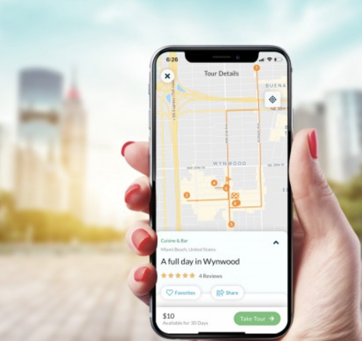
Built Story. The Built Story platform makes it easy to construct walking, biking, or driving tours depending on the geography of your intended stops. Waypoints can include text, images, audio, and video. Stories can read in a physical space through the Built Story app, available for Apple and Android. Stories can be sold through the app with the possibility of redirecting profits to non-profit, charitable, or fundraising efforts.
|
|
|
|
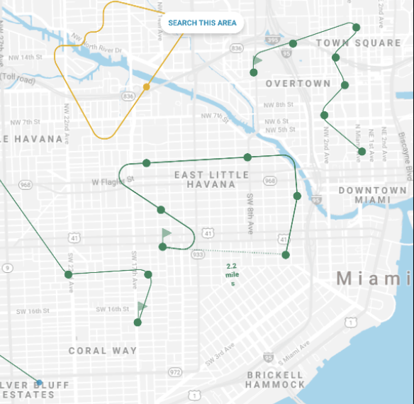
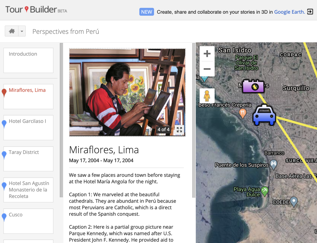
Google Products. In our study abroad programs, teachers have worked with different Google products for map-integrated storytelling, including group- and individually-edited Google Maps (My Maps), and the discontinued Google Tour Builder product based on Google Earth. See a sample group-edited map from participants in a Helsinki study abroad program.
|
|
|
|
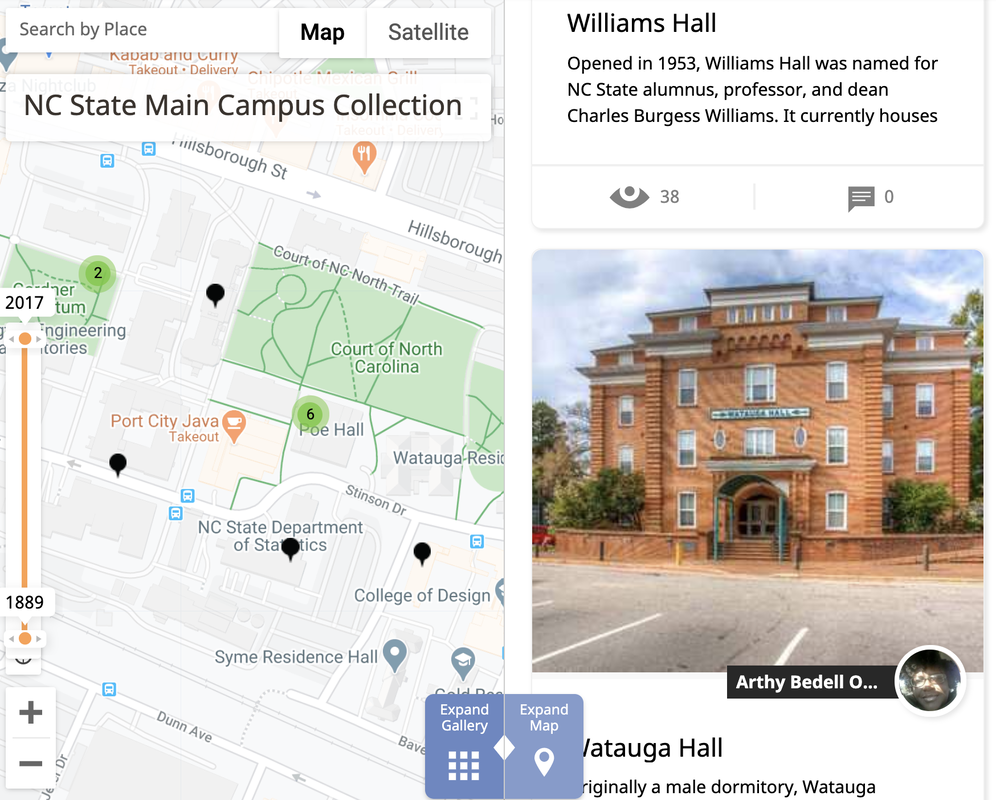
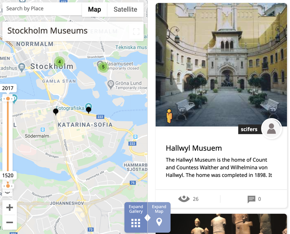
History Pin. Our study abroad participants have also co-edited History Pin collections, with each participant adding to non-fiction collections about cultural heritage sites in different locations. App now available for playing back stories on mobile devices in physical settings. See sample collections co-constructed by participants in our Stockholm and Helsinki study abroad programs.
|
|
|
|
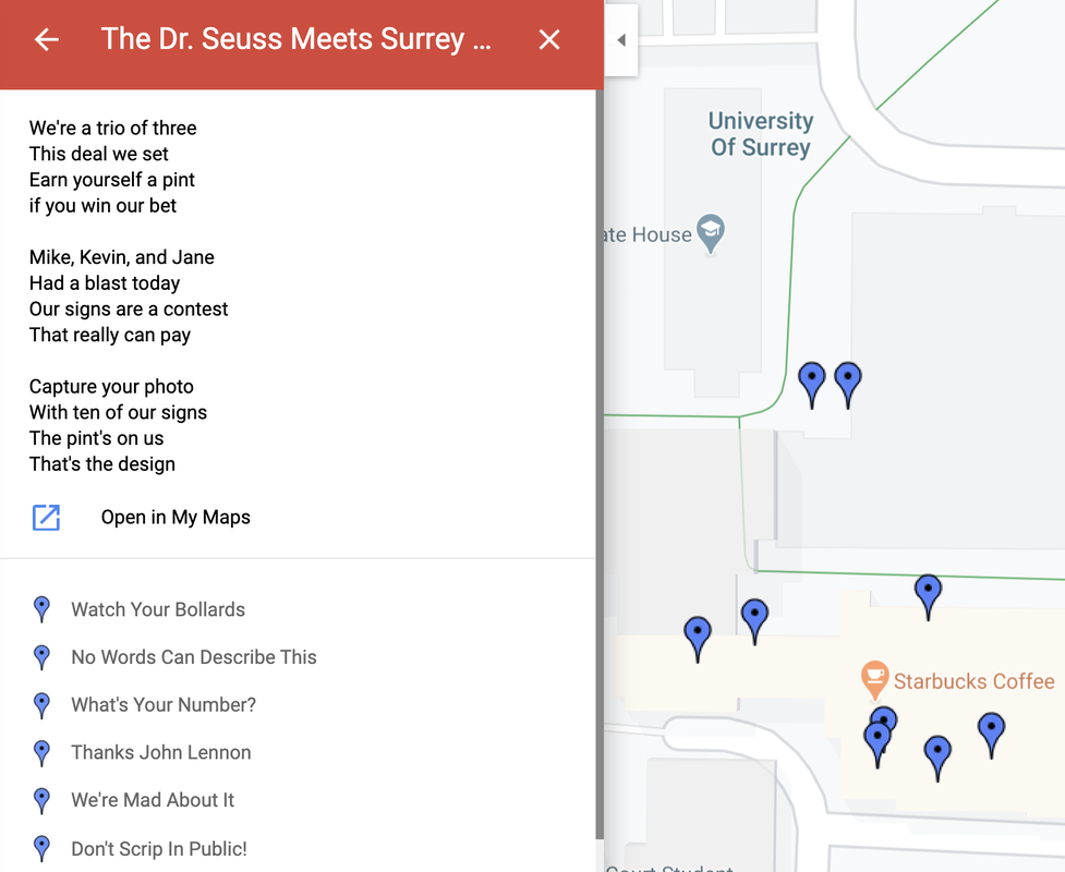
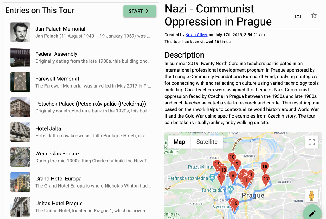
The Clio. In more recent study abroad programs, we have enjoyed working with the Clio product started by educators at Marshall University. Our participants have worked to co-edit non-fiction mapped collections tied to cultural heritage and historical stories. Clio has the advantage of an app to play back/read stories on a mobile device as one navigates a real setting. See a sample Clio tour co-constructed by participants in a 2019 study abroad program.
|
|

|
|
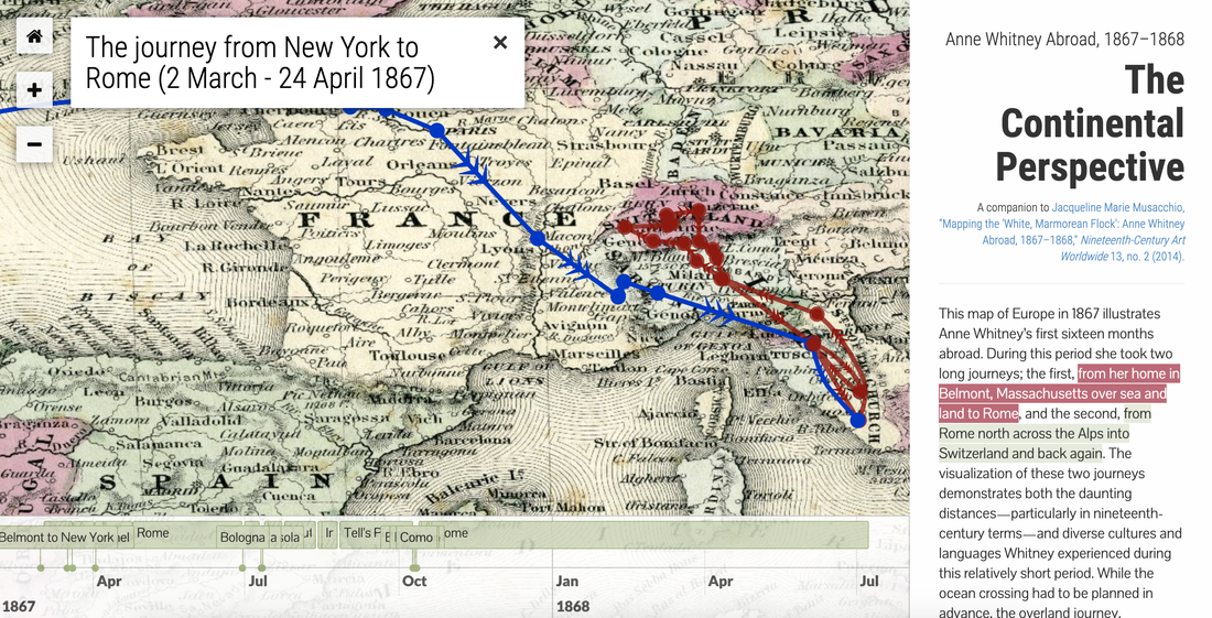
ArcGIS Story Maps. A new product we are excited to explore with our current study abroad cohort bound for Germany is ArcGIS Story Maps. The stories generated by this product scroll through a mashup of text blocks, imagery, and mapped locations. Play back Dr. Oliver's Educator Identity Text for example.
|

|
|
|
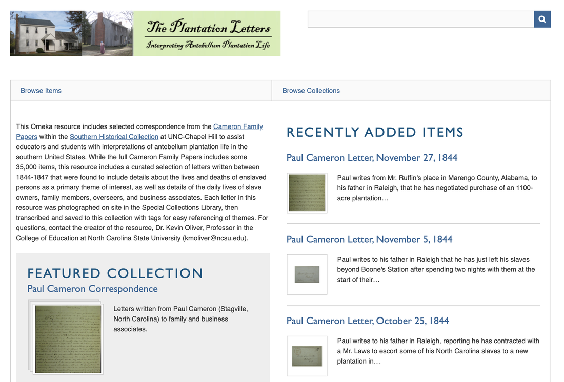
Digital Collections with Map Integration. Scholars within university libraries utilize an open source tool called Omeka to build collections of digital resources (e.g., historic papers, art). Omeka pairs with a plugin called Neatline to load collection materials onto maps where the map can serve as an interface for studying resources in a geographic context. Dr. Oliver is working with NC State Libraries to build a sample Omeka collection of plantation letters that will help students interpret the poor living/health conditions for enslaved persons in the American south.
|
|
|
|
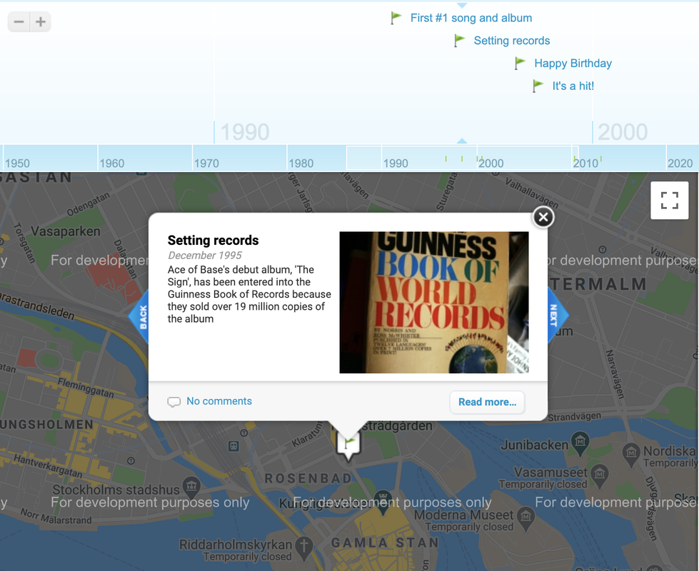
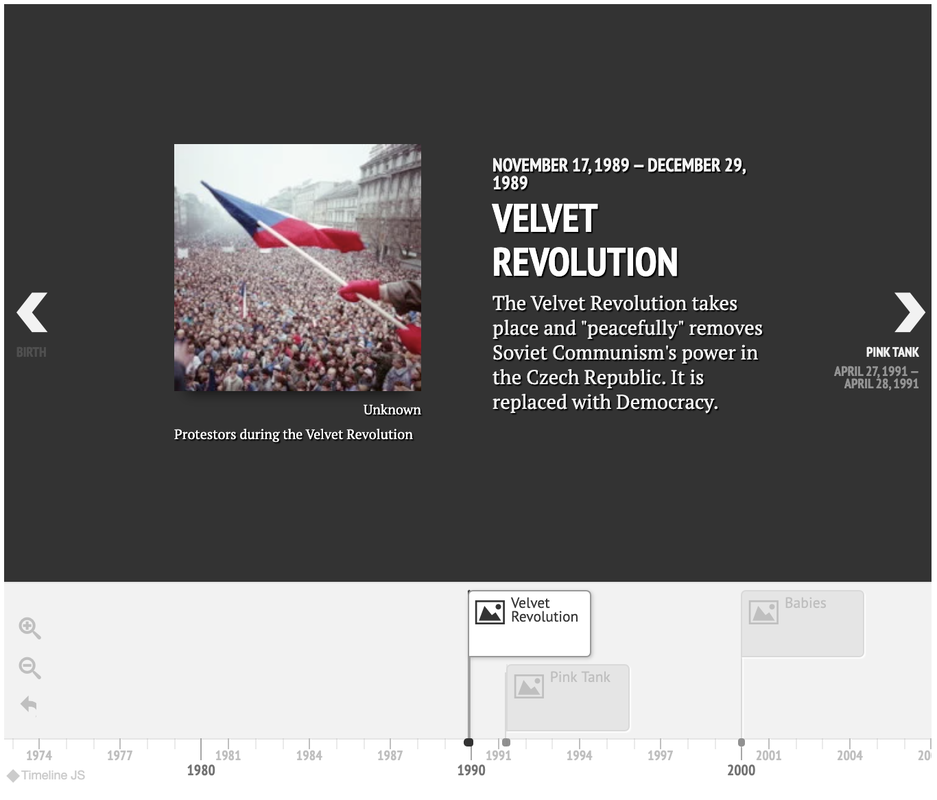
Timeline Products. Our participants have worked to convey many types of cultural stories through the use of timeline products that integrate time-stamped text and imagery, with the potential for mapping or layering maps into the timeline. Among these are MyHistro, KnightLab's Timeline and StoryMap products, and Sutori. See sample non-fiction stories conveyed on timelines by participants in our Czech study abroad programs on the puppeteer Skupa and the war story of Lidice.
|
|
|
|
Story City. Android and iOS app supporting users in consuming adventure stories tied to locations in specific cities. Story branching options and interactive elements such as solving puzzles to advance a story. Beta access for new Story City creators to author their own stories opening in 2020.
|

|

|
|
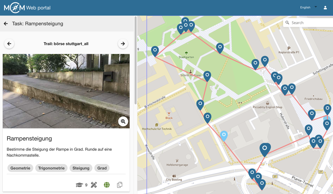
Math City Map. The Math City Map app available for IOS and Android allows users to create math trails tied to objects in a specific geography, with the designer of the trail presenting tasks for users to complete as they walk through the space (e.g., calculate the circumference of this round tower, what angle is this ramp). Useful for school-sited work, or in the context of historic sites to teach some cultural facets simultaneously.
|
|
|
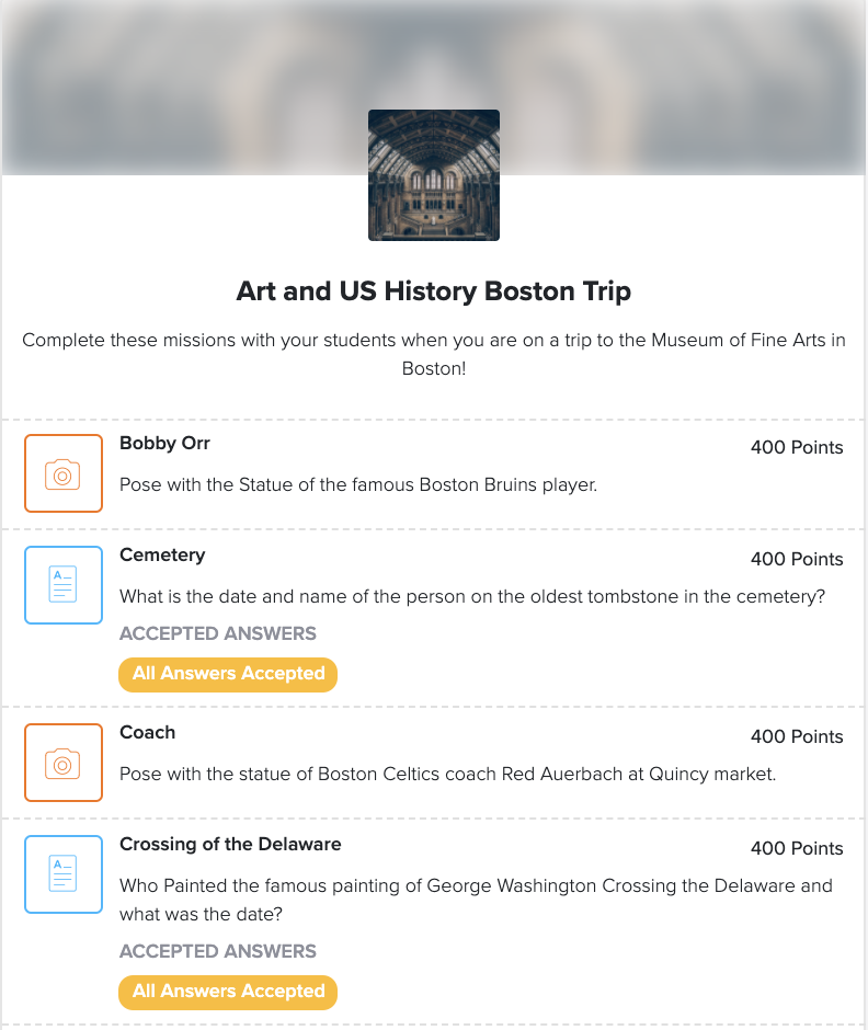
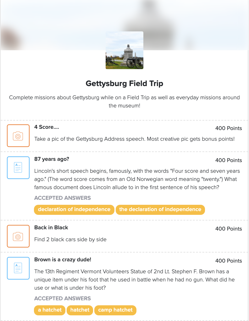
Goose Chase. The Goose Chase app allows persons to build scavenger hunts in a given city, with interactive features available (i.e., players required to type a response, take a photo, or complete a GPS check-in when they get to a given location). Limited free version available, otherwise fee-based. Used for education-related activities such as more interactive field trips.
|
|
|
|
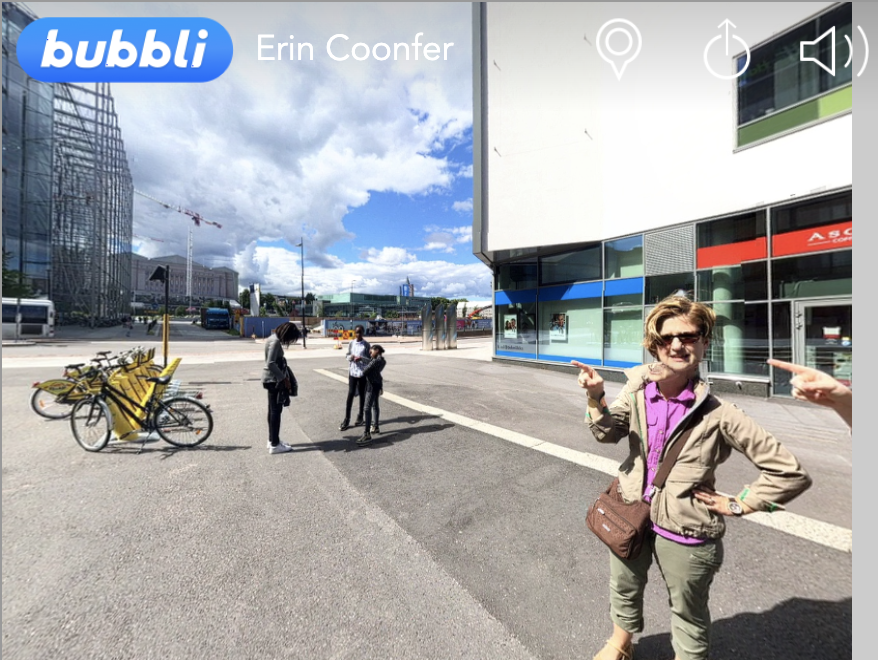
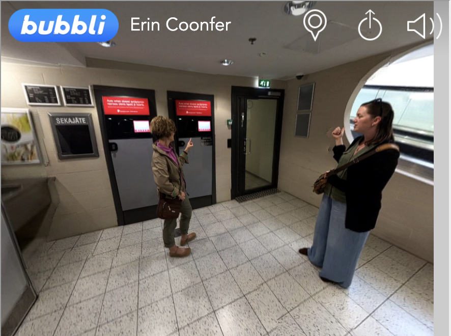
Mashup Approaches. When a product is not available to meet storytelling goals, mashups are possible using two or more tools. For example, some of our study abroad participants wrote fictional narratives to convey their growing understanding of culture. The discontinued Bubbli tool to capture 360-degree images and audio (spoken scripts, ambient sounds) was employed, with media embedded on Google maps for playback.
|
|
|
